Spain
Marbella
Historic streets, seafront walks and Costa del Sol neighbourhoods
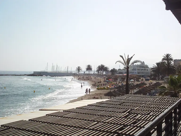
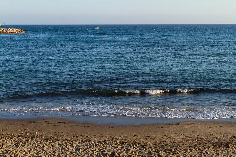
Marbella is a coastal municipality in the province of Malaga, Andalusia. Its different areas bring together a historic centre, resort coastline, marinas and the urban neighbourhoods of San Pedro Alcantara. Distinguishing seaside walking areas from individual hillside and coastal addresses helps make sense of the city.
- Region
- Andalusia, province of Malaga
- Municipal area
- 116.8 km²
- Coastline
- 27.9 km
- Marinas
- Puerto Banus, Marbella, Cabopino and La Bajadilla
- Rail connections
- Marbella has no railway station
Explore the destination
A municipality with several centres
Marbella means more than its historic centre. Its areas include Las Chapas, eastern and western Marbella, Nueva Andalucia and San Pedro Alcantara. These names help with orientation, while everyday convenience depends on the individual street and the journeys from it.
The historic centre
Plaza de los Naranjos, the Church of the Incarnation and surviving fortifications are historic landmarks. Nearby Alameda Park offers a quieter stop. Historic squares and green spaces reveal a different side of Marbella from its beach frontage.
Coastline and natural areas
The coast includes urban beaches such as La Venus and La Fontanilla as well as Artola beside Cabopino. The Artola dunes form a 19.27-hectare natural monument with fossil and mobile dunes; the historic Torre de los Ladrones stands nearby.
San Pedro Alcantara
San Pedro is a distinct local centre within the municipality. Its church square, cultural venues and boulevard form a useful walking itinerary. Opened in 2014 above a road tunnel, the boulevard combines gardens, children’s areas and an amphitheatre. The seafront promenade adds a coastal part to the visit.
Travelling along the coast
The bus station is on Avenida del Trapiche. Avanza connects Marbella with Malaga, including its airport. Rail travel requires a road connection: travellers can use Fuengirola and Malaga Maria Zambrano as railway hubs outside Marbella.
Reading a neighbourhood map
The coast, historic centre and hillside residential areas involve different journeys. When comparing addresses, check the route to your chosen bus stop, beach access and everyday services separately. An area’s overview point is an orientation aid; practical access is better assessed from the individual building.
Orientation coordinates: GeoNames · CC BY 4.0. Coordinates reproduced unchanged; this is a city reference point, not a property address.
Living in Marbella: neighbourhoods, journeys and your surroundings
This practical city guide compares the historic centre, coastal settings and local urban centres without treating any neighbourhood as a universal best choice.
How can I compare different parts of Marbella?
Start with your regular activities and destinations, then compare addresses.
Read more
Historic urban surroundings
The old town offers squares, churches and fortifications. A route around Los Naranjos and the Church of the Incarnation follows historic streets, with Alameda Park providing a green stop. This setting differs from a marina district or a new hillside development.
Several local centres
San Pedro Alcantara has its own urban centre and boulevard. Puerto Banus centres on its harbour, while Cabopino adjoins the Artola dunes. Compare actual routes to your everyday activities rather than relying on the familiarity of an area’s name.
How should I assess transport connections?
Consider the whole journey, including changes and the final stretch to your home.
Read more
Buses and the airport
Avanza operates connections between Marbella and Malaga, with the airport also included in its destinations. Marbella’s bus station is on Avenida del Trapiche. Check the current timetable and the appropriate stop for the day you intend to travel.
Rail travel and the final connection
Marbella itself has no railway station. A journey through Fuengirola or Malaga Maria Zambrano needs a separate road connection to Marbella. Train travel time therefore does not describe the full journey to an individual home.
How can I compare coastal settings?
Different parts of the coast support different everyday routines.
Read more
Urban beach or natural setting
Beaches include central La Venus and La Fontanilla as well as Artola near Cabopino. Check the actual beach access for walking: proximity to the sea on a map does not establish an accessible route.
Dunes and heritage
Artola protects a natural dune landscape beside the Torre de los Ladrones. Treat it as a natural attraction with designated access routes rather than as an ordinary urban promenade.
What should I check around an individual home?
Connect a neighbourhood’s description with your own daily routine.
Read more
Walking the route
Mark the shops, stops and walking destinations you need, then check the route from the building’s entrance. Distinguishing a coastal address from one higher on a slope is particularly useful: an area marker does not describe gradients, crossings or the entrance location.
Culture and walking
Historic landmarks provide a walking route through the old town. San Pedro offers a different itinerary around its church square, boulevard and cultural venues. Choose specific places you would visit regularly rather than relying only on Marbella’s resort image.
Properties in the city
- Design Hills Dolce&Gabbana Marbella
- Karl Lagerfeld Villas Marbella
- EPIC Marbella furnished by FENDI CASA
- Armani Residences Marbella
- Soul Marbella
- Origin
- Quintessence
- Soleil
- Medblue Los Monteros
Photo credits
1. Ypsilon from Finland · Marbella city view · CC0. Resized, WebP format.
2. TimOve from Norway · Marbella city view · CC BY 2.0. Resized, WebP format.